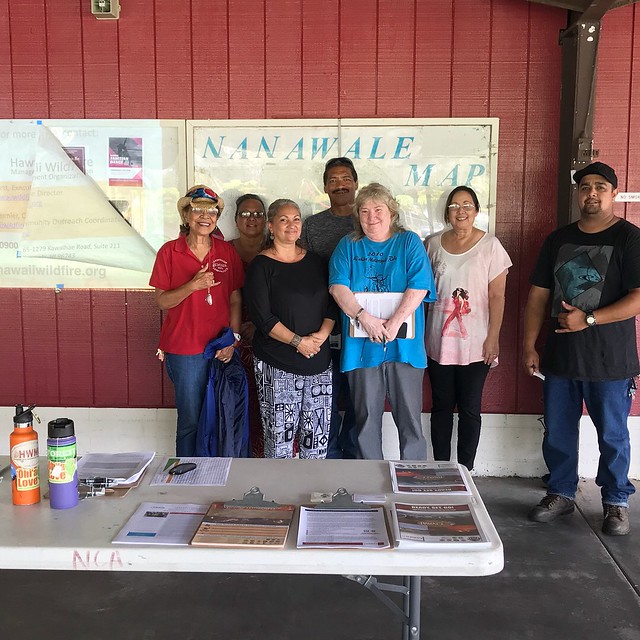
The Nanawale Estates community members who came to the workshop are willing and ready to help the community become a Firewise site.
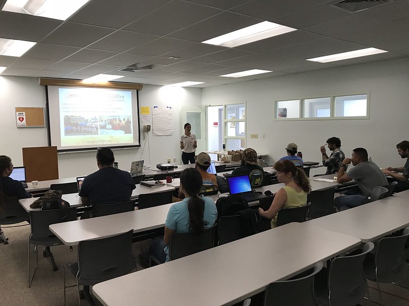
We started the week by working on recruiting a potential new Firewise Community in Puna on the Big Island (which would be the first on the east side). Proactive Nanawale residents and HOA staff joined us for a wildfire preparedness workshop on February 5 at the Nanawale Longhouse. We guided the workshop attendees through the Ready, Set, Go! program and encouraged them to pursue looking into becoming a nationally-recognized Firewise Community. Following the presentation, we walked over to a nearby home to practice assessing a home ignition zone for wildfire hazards (the best way to learn is out in the field!)
During the workshop, we held an input session to hear about the wildfire-related concerns of community members. Some key concerns included albizia control, lack of ingress/egress, and lack of continuous support from legislators. We then discussed possible solutions that could help address these issues. Nanawale is no stranger to environmental hazards. In 2014, the Pahoa lava flow threatened the community and the recent Hurricane Iselle proved very damaging to the community, which was largely out of power for several weeks. The community may not have gotten the federal aid and even local government support they had hoped for, but they took matters in their own hands anyways by supporting each other. This is a key function of a Firewise Community that is fire-adapted to its surroundings: building community resilience for the long-run is most impactful and effective when the whole community comes together.