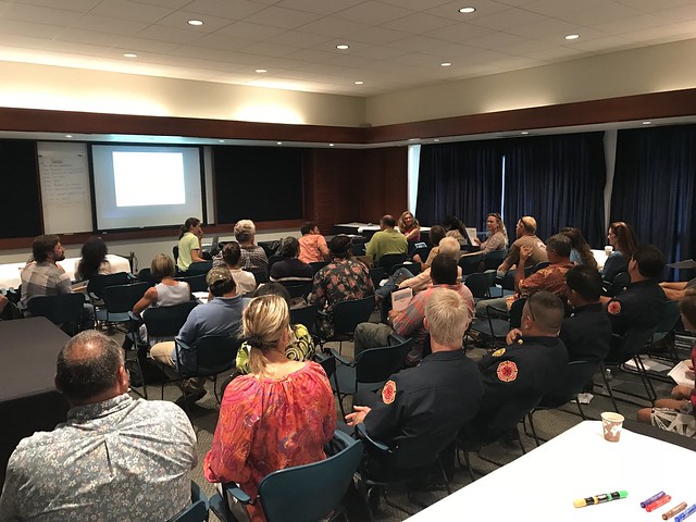
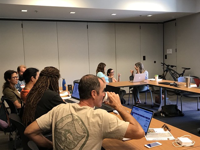
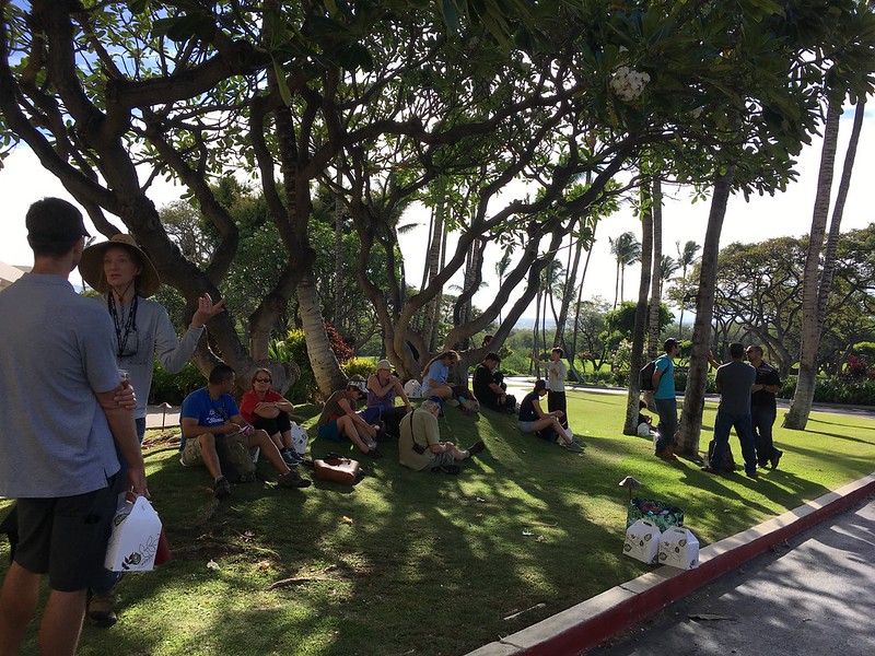
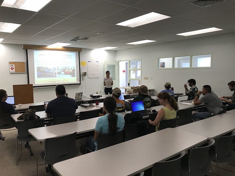
Full house for the workshop!
As a hub of wildfire protection efforts across the Hawaiian Islands, we are always looking for ways to bring people together to solve some of our most complex wicked problems. The Hawaiian Islands have been struggling with invasive species spread for decades, but now we are seeing what happens when invasive flammable plants take over the landscape and allow fires to spread more quickly and over larger areas. By controlling or managing flammable vegetation at the landscape-level, we can make great strides towards reducing the wildfire risk on our islands.
That’s why HWMO is coordinating a statewide vegetative fuels management mapping project — a rapid assessment to understand the vegetation management needs and priorities of landowners and land managers throughout the Hawaiian Islands. DLNR Division of Forestry and Wildlife and University of Hawaii CTAHR Cooperative Extension are key partners in the effort.
The vision for the project is that the resulting maps will lead to 1) better prioritization and communication of vegetative fuels management on the landscape-scale and 2) enhance project coordination between organizations and funding opportunities.

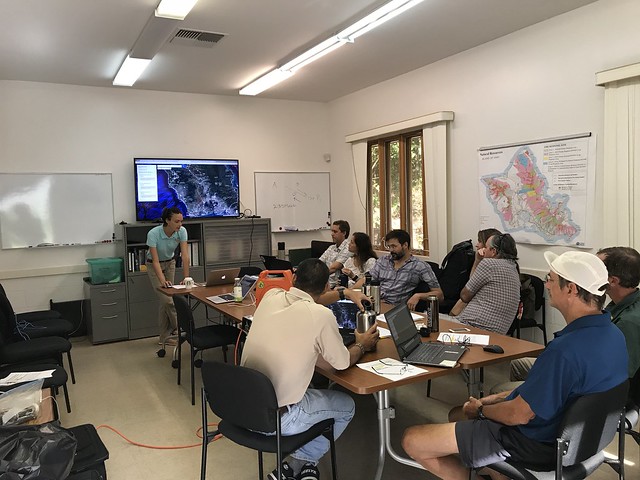
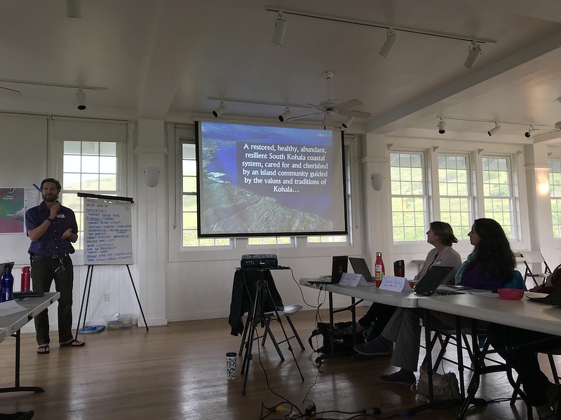
Marking areas of importance to protect from wildfires.

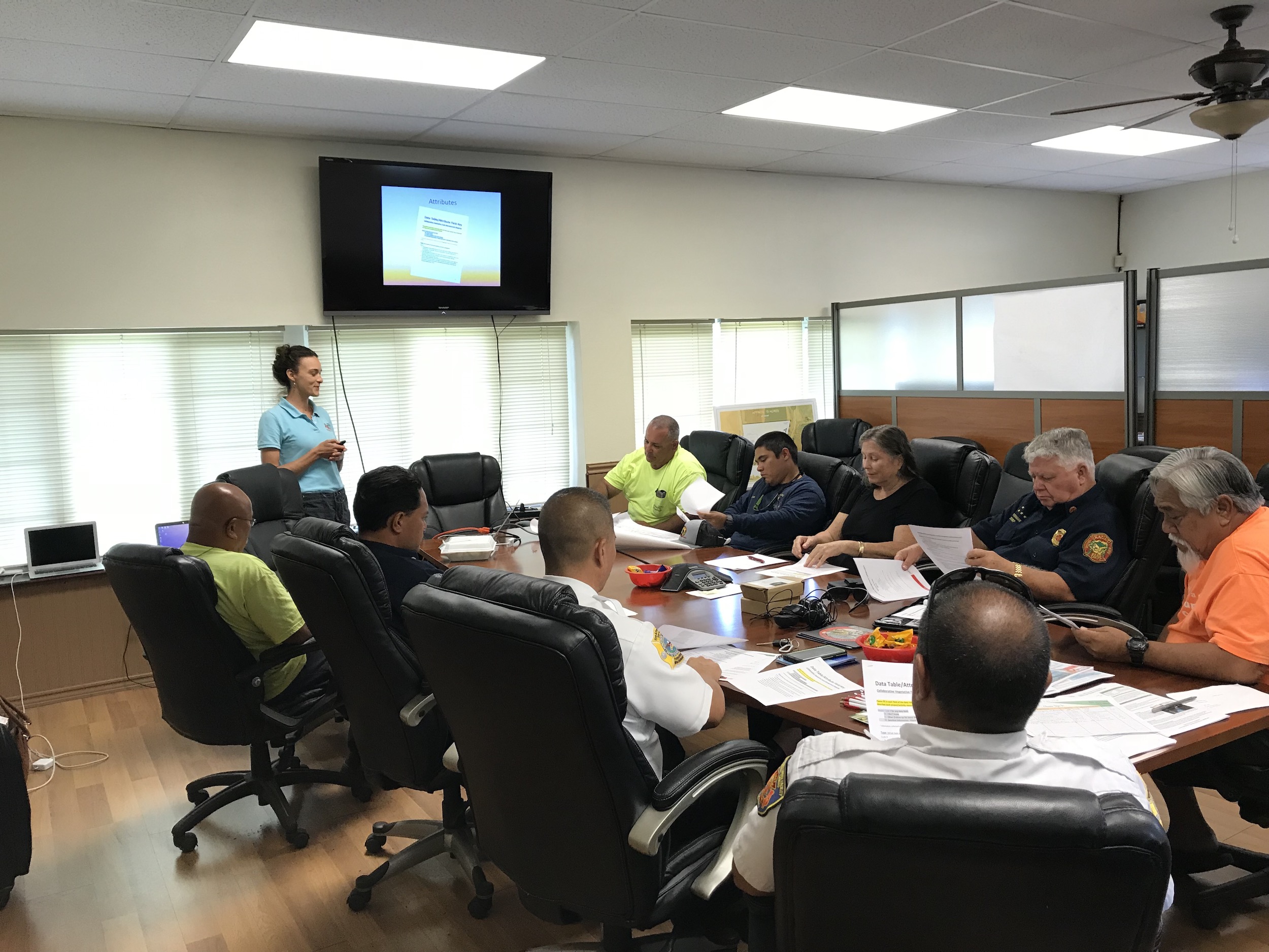
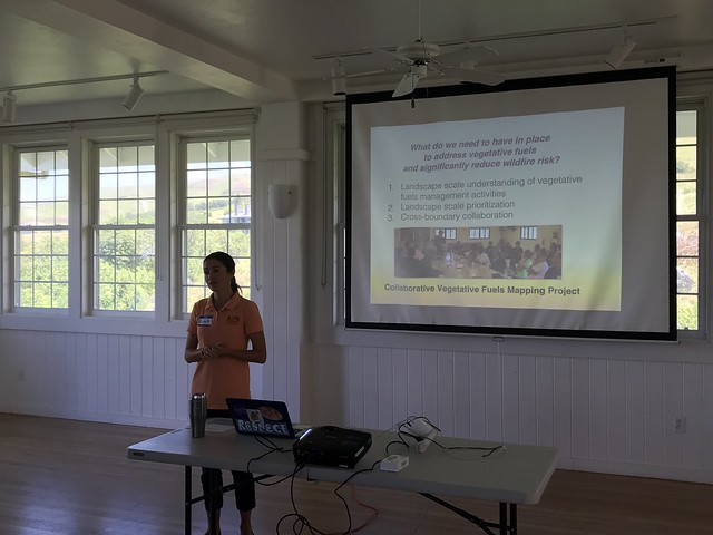
Discussing collaborative project ideas.
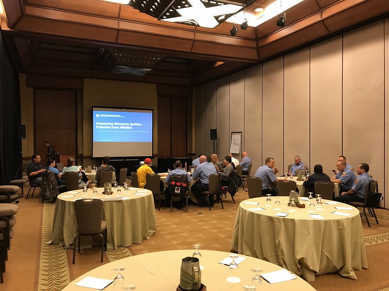
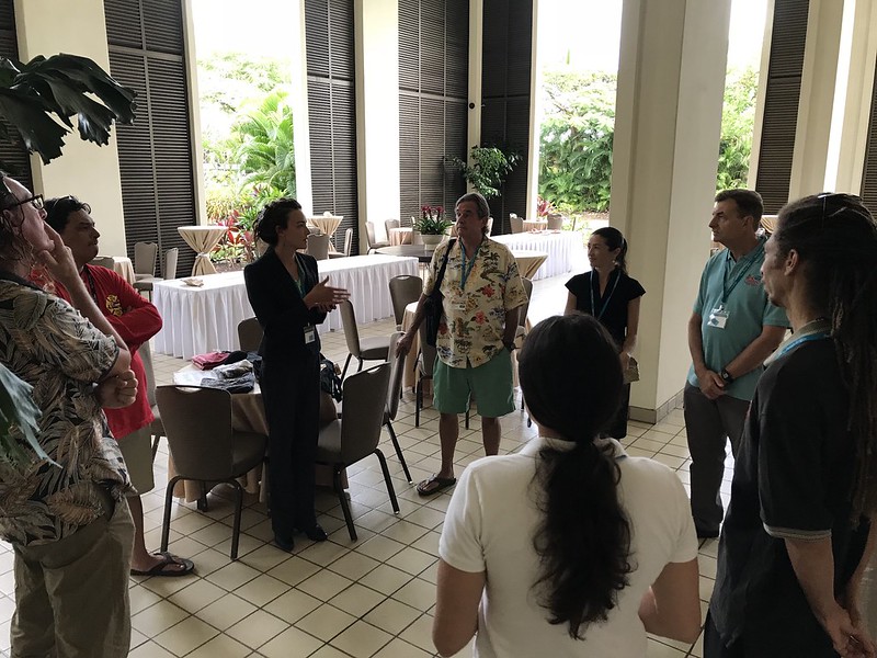
As part of the next phase of our groundbreaking project, we held a collaborative action planning workshop at the Maui Arts and Culture Center in Kahului. Nearly 50 participants representing a wide variety of fields and backgrounds came together to discuss what future landscape-level vegetation management projects could be on the horizon. During breakout group sessions, teams of people circulated to different tables to highlight key areas for protection, helping inform us on the top priority areas for the last part of the workshop: outlining actual project ideas. Additionally, and possibly more importantly, many people were able to meet new faces, share ideas, and became new work partners. HWMO truly is a hub!